
The world’s oceans, covering over 70% of the Earth’s surface, remain some of the most mysterious and least explored environments on the planet. Despite their vast importance to climate regulation, biodiversity, and human activities such as shipping, fishing, and energy exploration, large portions of our oceans remain uncharted. However, recent advances in Remotely Operated Vehicle (ROV) technology are helping to break new depths, contributing significantly to global ocean mapping efforts.
ROVs have become essential tools for oceanographers, researchers, and conservationists, providing a means to explore and document the deep ocean without the risk and expense of sending humans into extreme underwater environments. As these vehicles continue to evolve, their capabilities are greatly enhancing our understanding of the deep ocean and accelerating efforts to map the world’s oceans more thoroughly than ever before.
In this article, we explore how ROV innovations are playing a central role in global ocean mapping initiatives and how these advancements are shaping the future of ocean exploration.
The Importance of Ocean Mapping
Ocean mapping is crucial for numerous reasons:
- Environmental Monitoring: Mapping the ocean’s topography, currents, and ecosystems is essential for understanding climate change, protecting marine life, and managing fisheries.
- Resource Management: Accurate maps are critical for locating valuable subsea resources, such as oil, gas, minerals, and renewable energy sources like offshore wind.
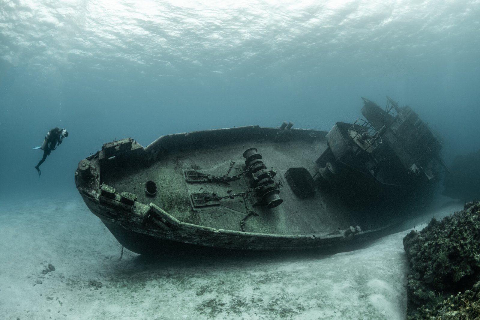
- Safety and Navigation: Detailed mapping is essential for safe shipping routes, disaster management, and locating underwater hazards like submerged rocks, wrecks, and minefields.
- Conservation Efforts: With increasing pressure on marine environments, mapping the seafloor and oceanic ecosystems is fundamental for the identification of protected areas and the study of marine biodiversity.
Despite these pressing needs, only about 20% of the ocean floor has been mapped with high resolution. This gap in knowledge has sparked global efforts to complete comprehensive ocean mapping, with initiatives like the Seabed 2030 Project, which aims to map the entire ocean floor by the end of this decade. The innovation of ROVs has become central to achieving this ambitious goal.
ROV Innovations Revolutionizing Ocean Mapping
Historically, ocean mapping involved the use of ships equipped with sonar systems that could scan the seafloor in broad sweeps. While effective, these methods were often limited by the equipment’s range, resolution, and the difficulty of accessing remote or extreme depths. Today, ROVs are enhancing traditional ocean mapping techniques and expanding our capabilities to map previously inaccessible areas of the ocean.
1. High-Resolution Imaging and Sonar Systems
Modern ROVs are equipped with advanced high-resolution cameras and sonar systems, such as side-scan sonar and multibeam sonar, that allow for more precise mapping of the seafloor. These systems emit sound waves that bounce off the ocean floor and return to the vehicle, providing detailed images of underwater features, including geological formations, shipwrecks, and marine habitats.
With their ability to operate at depths of up to several kilometers below the ocean’s surface, ROVs equipped with sonar technology are particularly useful for mapping deep-sea environments that are otherwise unreachable. Their ability to capture fine details of the seafloor topography has significantly advanced the resolution of ocean floor maps, helping scientists better understand the complex underwater landscape.
2. Autonomous ROVs: Expanding Reach and Efficiency
While traditional ROVs have been controlled by human operators from the surface, the latest generation of autonomous underwater vehicles (AUVs) and autonomous ROVs are designed to conduct mapping missions without direct human oversight. These vehicles use AI-driven algorithms for navigation, obstacle avoidance, and mission planning, enabling them to carry out long-duration tasks with minimal intervention.
Autonomous ROVs have proven to be especially valuable in exploring remote and harsh environments, such as the deep trenches of the Pacific Ocean or the Arctic seabed. These vehicles can operate in these extreme depths for extended periods, mapping vast areas of ocean floor with unprecedented efficiency. Their ability to perform autonomously, without the need for continuous human control, significantly reduces operational costs and risks while expanding the scope of exploration.
3. Modular ROVs for Customizable Mapping Operations
Modular ROVs are becoming increasingly popular in ocean mapping initiatives due to their customizability and versatility. These vehicles are designed with interchangeable components that can be tailored to specific mission requirements. For instance, different sonar systems, cameras, sensors, and lighting units can be swapped in or out depending on the depth, terrain, and environmental conditions.
For ocean mapping, this modularity allows operators to choose the ideal tools for the task at hand. Whether the mission requires a high-resolution camera for visual inspections of marine life or a powerful sonar system to create detailed bathymetric maps, modular ROVs can adapt to meet the unique challenges of each mapping operation. This flexibility reduces the need for multiple specialized vehicles, offering a cost-effective and efficient solution for global ocean mapping efforts.
4. Real-Time Data Transmission for Immediate Analysis
The ability to transmit real-time data from ROVs back to the surface has been a game-changer for ocean mapping. With high-speed data links, ROVs can transmit live video feeds, sonar data, and environmental measurements to researchers and decision-makers in real time. This enables them to immediately analyze the data, make adjustments to the mission, and refine mapping efforts on the fly.
Real-time data transmission also allows for more collaborative and interdisciplinary approaches to ocean mapping. For example, marine biologists, geologists, and climatologists can access data as it’s collected, contributing their expertise to better understand the relationship between the ocean’s physical features and its ecosystems. This immediacy has accelerated the pace of mapping and has led to more comprehensive data collection.
5. Enhanced Environmental Monitoring
In addition to traditional mapping, ROVs equipped with specialized sensors are playing an important role in environmental monitoring. These sensors can measure variables such as temperature, salinity, pH levels, dissolved oxygen, and carbon dioxide. By collecting environmental data alongside high-resolution images and sonar maps, ROVs provide a comprehensive view of ocean health.
As the effects of climate change become more pronounced, such monitoring is vital for tracking changes in marine ecosystems, understanding how coral reefs and deep-sea habitats are being impacted, and identifying critical areas that need protection. The combination of high-resolution imaging and environmental sensors makes ROVs powerful tools for both ocean mapping and marine conservation.
Global Ocean Mapping Initiatives Powered by ROVs
Several global efforts are harnessing ROV technology to accelerate the mapping of the ocean floor. Key initiatives include:
1. Seabed 2030
The Seabed 2030 Project, a collaboration between the Japan Oceanographic Data Center and the General Bathymetric Chart of the Oceans (GEBCO), aims to map the entire ocean floor by 2030. ROVs, along with other ocean exploration technologies, are key tools in achieving this goal. The initiative is working with a wide array of research vessels, organizations, and private companies, including those deploying ROVs, to capture high-resolution data of previously unexplored seafloor regions.
2. The Ocean Exploration Cooperative Institute (OECI)
The Ocean Exploration Cooperative Institute (OECI) supports exploration missions to gather ocean data, particularly in the deep ocean. The OECI collaborates with institutions like the University of Rhode Island’s Graduate School of Oceanography and the National Oceanic and Atmospheric Administration (NOAA) to employ ROVs for deep-sea exploration. These missions focus on mapping critical regions, studying deep-sea ecosystems, and assessing the potential impact of human activities on the ocean.
3. The Schmidt Ocean Institute’s RV Falkor
The Schmidt Ocean Institute’s RV Falkor is a research vessel equipped with state-of-the-art ROVs that explore remote ocean regions. The vessel’s ROVs are deployed for deep-sea mapping missions, including the mapping of underwater mountain ranges, oceanic trenches, and volcanic vents. The data collected by these ROVs is helping to build more accurate seafloor maps and improve our understanding of oceanic processes.
The Future of Ocean Mapping with ROVs
As ROV technology continues to evolve, it will play an even larger role in achieving comprehensive global ocean mapping. The integration of AI, machine learning, and autonomous navigation will further enhance the capabilities of ROVs, allowing them to explore deeper, more remote regions of the ocean with greater precision and efficiency. Moreover, new innovations in data storage, sensor technology, and communications will facilitate more detailed and faster mapping efforts.
The future of ocean mapping will not only be about discovering new areas of the seabed but also understanding how these areas relate to ocean ecosystems, climate change, and the health of our planet. With the support of innovative ROV technology, the dream of fully mapping the ocean floor—and unlocking its secrets—seems within reach.
Conclusion
ROVs are playing a critical role in the ongoing effort to map the world’s oceans. Their ability to operate in deep and remote environments, coupled with innovations in sensors, imaging, and autonomous capabilities, has greatly expanded the possibilities for ocean exploration. With global initiatives like Seabed 2030 pushing the boundaries of what we know about the seafloor, ROVs are essential tools that are breaking new depths and reshaping our understanding of the vast, unexplored world beneath the waves.